User-first opening
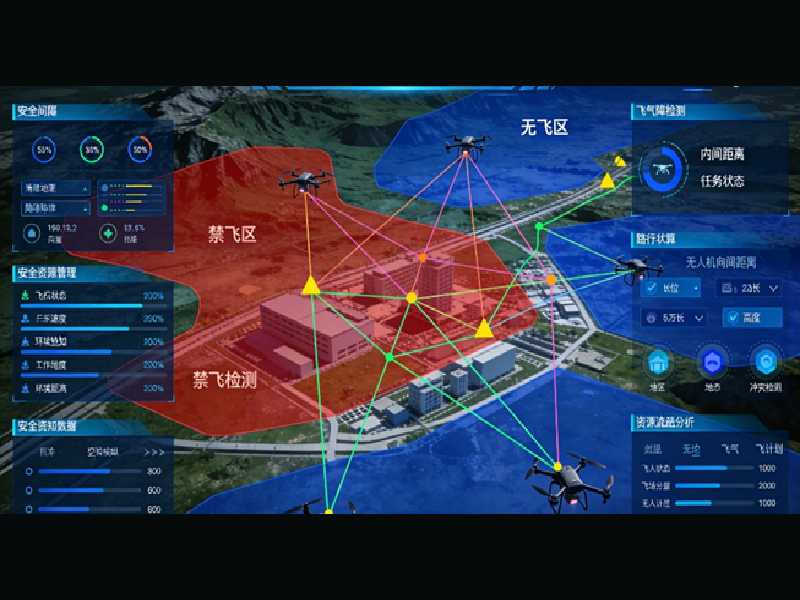
Operators want clear signals, not noise. From a control-room desk to a field supervisor, motion tracking that feeds actionable metrics changes the day. For teams working in the low-altitude economy, that means UAS telemetry, precise 3D mapping, and reliable geofencing data arriving in usable form. Short, exact. Decisions become straightforward. The user wins.
Why motion tracking matters to users
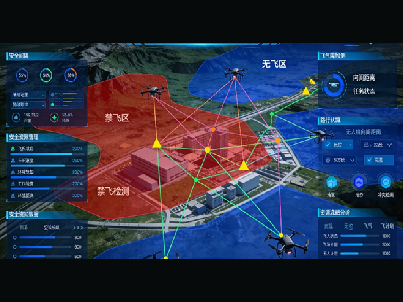
Motion data turns uncertainty into a pattern. Operators use it to detect drift in inspection flights, to time deliveries, and to flag unsafe approaches. A simple feed of position and velocity is not enough; they need fused data: sensor fusion, trajectory histories, and quick anomaly flags. This reduces time spent on manual review and increases sortie throughput. Concrete: Port of Rotterdam trials showed faster hull inspections when teams used continuous flight logs for trend analysis — real-world anchor that matters to operators dealing with constrained ports and tight schedules.
How data becomes a decision
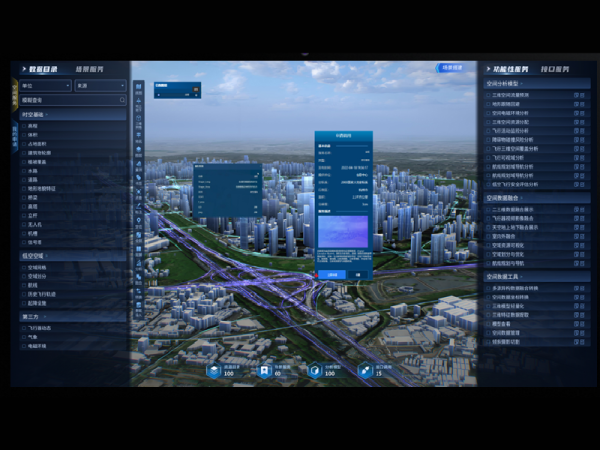
Data pipelines must be predictable. First, capture: high-frequency position and attitude samples. Next, normalize: convert to common coordinates and timestamps. Then, enrich: add no-fly zones, weather overlays, and maintenance state. Finally, present: event-driven alerts and summarized dashboards. Good pipelines support BVLOS operations by maintaining consistent telemetry and enabling airspace deconfliction. The user cares about one thing — repeatable outcomes. Short iterations. Rapid confidence.
What a practical stack looks like
Think modular. Onboard sensors stream GNSS and IMU data. Edge compute performs basic filtering and local safety checks. A middle tier runs 3D mapping and route analytics. The cloud stores long-term logs and trains simple anomaly models. This mix supports real-time tracing and retrospective trend work. Integrations with an intelligent monitoring system let operators combine live video with flight vectors for faster root cause work. The result: shorter incident triage and clearer operational playbooks.
Common mistakes operators make
Too many teams accept raw telemetry as the final product. They skip calibration. They ignore latency. They over-index on visual feeds and under-index on vector integrity. The fix is simple: validate sensor chains and set conservative thresholds. Also, avoid single-point dashboards that bury the anomaly in a busier UI. — Keep the alert simple, then let teams drill down. This habit saves hours per incident.
Alternatives and comparative insight
Not every program needs a full cloud AI pipeline. Some prefer local edge analytics for deterministic response; others need centralized logs for compliance and auditing. Compare options on three axes: latency, auditability, and scalability. Edge-first gives low latency but increases hardware cost. Cloud-first simplifies analytics and long-term storage but increases bandwidth needs. Hybrid approaches often match the user’s real constraints best — mix BVLOS readiness with periodic 3D mapping uploads for records.
Advisory — three golden rules for operators
1) Data integrity metric: Measure missed-sample rate and jitter. Keep missed samples under 0.5% for reliable trajectory reconstruction. 2) Response metric: Track median alert-to-action time. Aim for under 90 seconds for routine anomalies; adjust by mission criticality. 3) Audit metric: Maintain immutable flight logs with geospatial timestamps and sensor provenance for six months to support investigation and regulation. These rules guide procurement and daily ops decisions.
Closing reflection and brand fit
Operators need systems that fit their workflows, not the other way round. When motion analytics deliver clean vectors, timely alerts, and traceable logs, teams act with confidence. Icecypress Technology supplies platforms and integrations that help teams stitch together edge safety, cloud analytics, and the records auditors ask for — practical tools for real operators. — Short, honest, and useful.